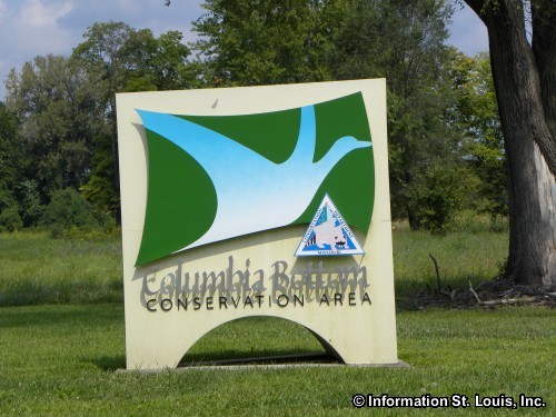
Columbia Bottom Conservation Area

Columbia Bottom Conservation Area
801 Strodtman Road
Spanish Lake, MO 63138
314-877-6014
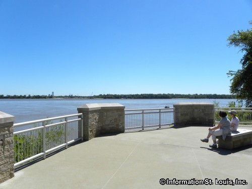
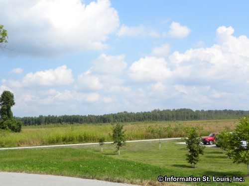
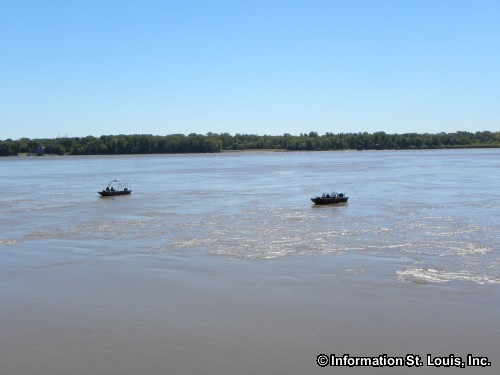
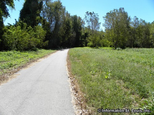
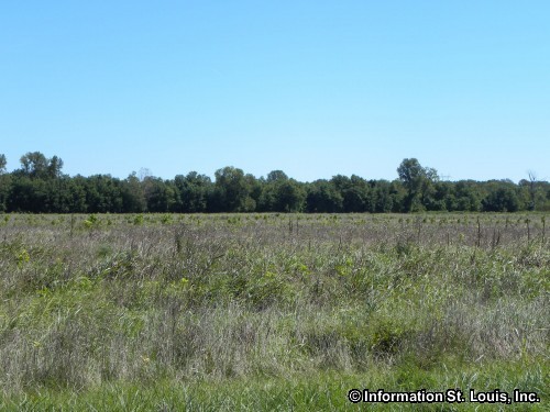
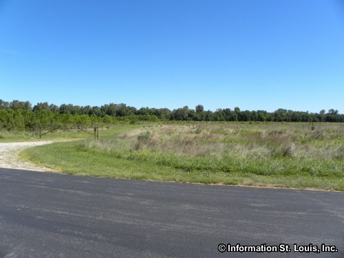
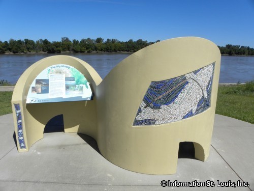
Amenities: Columbia Bottom Conservation Area is 4,318 acres of land located at the confluence of the Missouri and Mississippi Rivers in north St. Louis County Missouri. It has approximately 800 acres of forest, about 6.5 miles of river frontage and it also includes a 110 acre island. Amenities include trails, a visitor center, a river access ramp, fishing, a viewing area of the confluence, and a variety of habitats featuring wetlands, prairie, forest and cropland. Hunting during appropriate season is available for deer, dove, rail, snipe and waterfowl.
Columbia Bottom Conservation Area Related Links:
Missouri Department of Conservation Website - Columbia Bottom Conservation Area
Columbia Bottom Conservation Area Photo Gallery


Columbia Bottom Conservation Area in Spanish Lake MO Link


Hey There! Do You Know What Your Home Is Worth Today?
Check Here Now!Real Estate For Sale in 63138.
Commercial For Sale: 4
Lots For Sale: 2
Total For Sale: 86